Sierra Crestellina - walking
Casares
Our tip
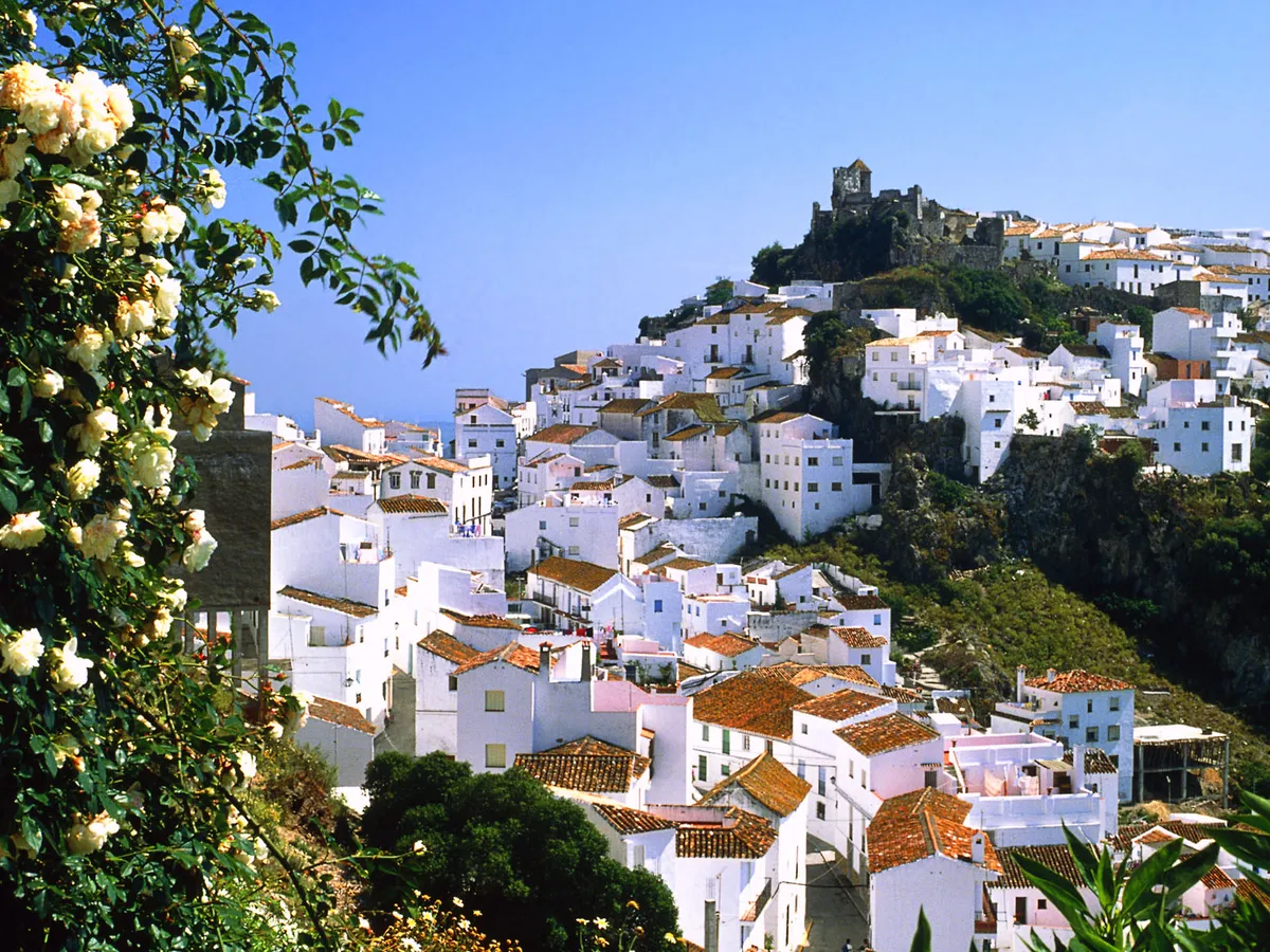
Casares, a beautiful white village near Estepona, offers stunning views of Gibraltar, the Mediterranean and the Rif Mountains while hiking.
From Estepona it takes half an hour to reach the beautiful white village of Casares where the route begins. The white houses are flattered like a large eagle's nest on the edge of a gorge. From every street you get the most beautiful views larded with bright flower pots handed to you on a silver platter. On a clear day, you can see right across the Strait of Gibraltar and across the diamond-studded Mediterranean Sea to the Rif Mountains.
It is an impressive sight: large birds of prey circling high above your head around rugged mountain ridges. In the Sierra Crestellina, there are remarkably many of them. The vultures nest in the rocks below the Pico de las Chapas. A modest peak compared to others in the province of Málaga, but still a fun one to climb.
Practical about the routes
Upon entering the village over the A7150, keep left and follow the road that leads up through the village. Park your car in the parking lot near restaurante Laura. From here walk back along the road for about 800 meters until you see the sign 'Refugio SL1' at the beginning of a road paved with concrete. This is where the different routes start - or end. We tried the route to the top. You can extend it by walking over the ridge of the Pico de las Chapas to the Pico Casares (906m) and from there descend towards the village. Another route leads along the west side of Sierra Crestellina up to the summit and goes through the valley on the east side back towards Casares. The area around Casares and also towards Gaucín is not only nice for hiking, but also very popular among mountain bikers and downhill riders. The route we are hiking is also suitable for cycling, except for the last bit to the top.
Sierra Crestellina Route.
Our walk takes just over three hours from village to village. If you want to keep it shorter and climb only the summit, you can choose to drive by car the first part of the route (3.9km) to the end of the valley until you can't go any further and the paved road turns into a dirt track. From this point the climb to the summit takes about three quarters of an hour. The route is fine for people in normal condition. However, the last part is a little more difficult because then there are only rocks that can be slippery in certain weather conditions. Good shoes are a must there. Good eyes too, to spot the small piles of stones that mark the route. They are of the same light gray as the terrain around them, so hard to see.
Nearby
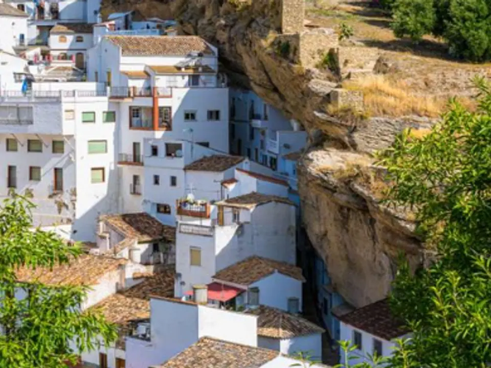
Casares
Casares · Villages & culture
340 m in a straight line
The village looks like something out of a postcard
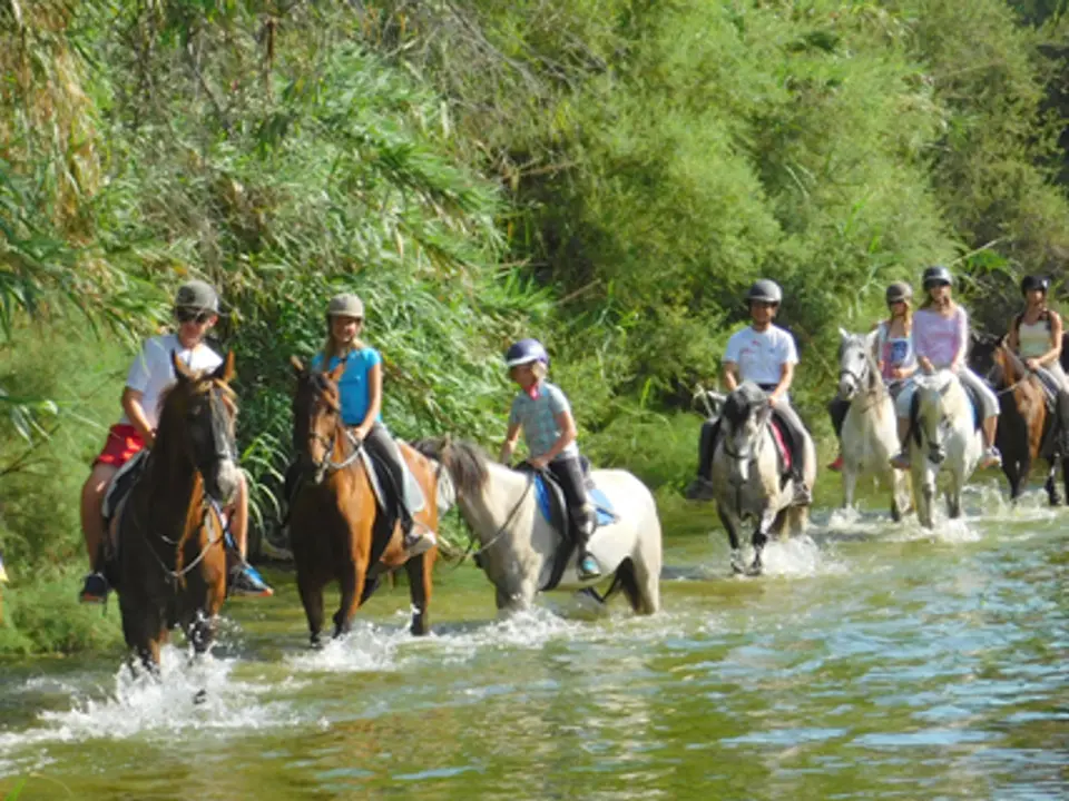
Horseriding from beginners to advanced
Casares · Active
1.5 km in a straight line
Horse riding in beautiful surroundings
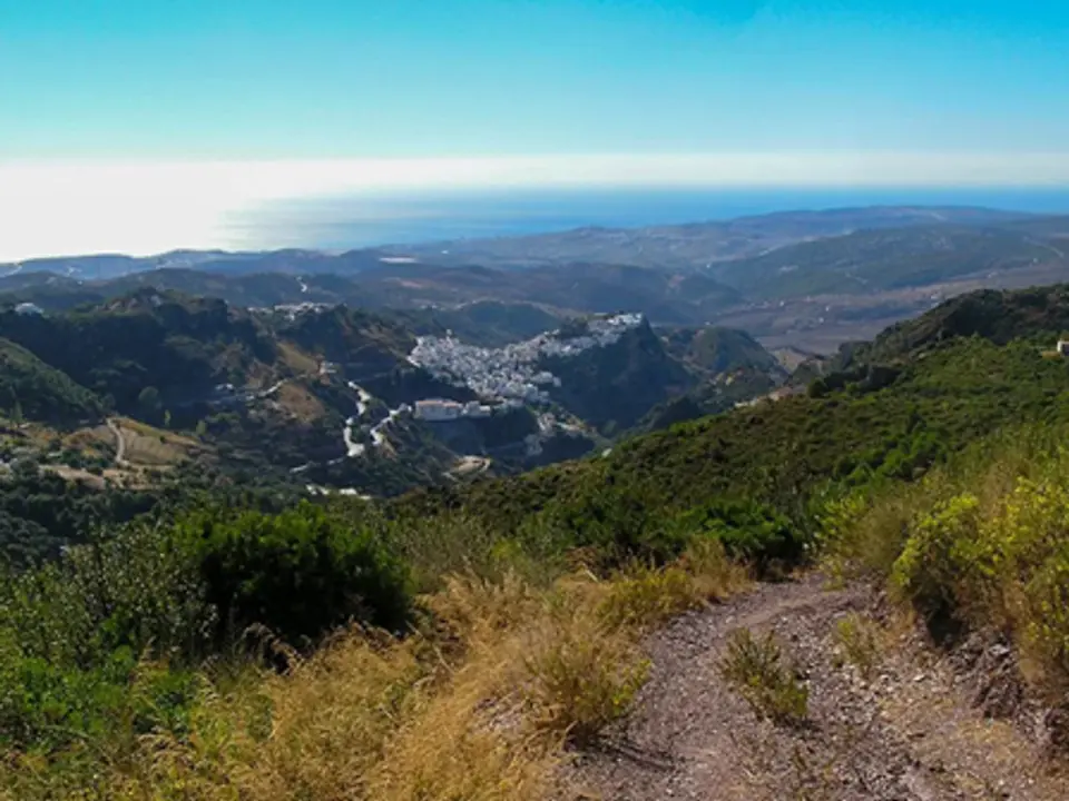
Sierra Crestellina - NATURAL PARK
Casares · Nature & walking
2.3 km in a straight line
From the historic center of Casares, Sierra Crestellina stands out as the closest mountain range, with cliffs, steep rock faces, and crags, featuring several caves and numerous…

Alcazaba Vive Lagoon Beach Club
Casares · Beach & sea
3 km in a straight line
Explore Adventure and Relaxation at Alcazaba Vive Lagoon Dive into the heart of Alcazaba Vive Lagoon, your ultimate destination.