Hiking to the Puente de los Alemanes
El Colmenar · Nature & walking
Our tip
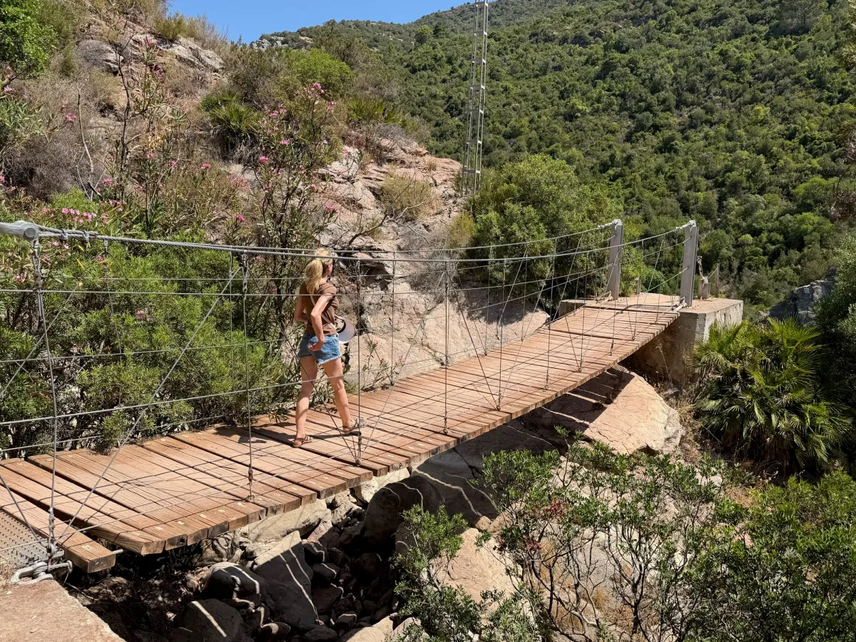
A steep but rewarding loop above the Cañón de las Buitreras, following an old hydroelectric water canal past a swimming spot and circling griffon vultures, up to a 1918 aqueduct bridge suspended 60 metres over the gorge.
Practical
- Price
- Free
- Visit time
- Full day
- Best time
- Possible in summer with an early start and the swim stop, probably more comfortable in spring or autumn
- Parking
- Free, near El Colmenar train station
- Good for
- Fit hikers comfortable with steep, loose terrain
- Good to know
- Closed, sturdy shoes for the final climb to the bridge, long trousers for the lower scrub sections, and bring more food than you think you'll need.
We parked near the old train station in El Colmenar, officially Estación de Gaucín and a stop on the scenic railway line between Algeciras and Ronda, and picked up the path that follows the old water canal up into the hills. That's the way we'd recommend starting the loop too. Long trousers are a good idea for the lower stretches, and long sleeves if you have them, since there's a fair bit of thorny scrub along the way. It wasn't too bad in the end, but you'll be glad you're covered up.
From there the path climbs above the Cañón de las Buitreras, the Canyon of the Vultures, a natural monument that's been protected since 2003. The Guadiaro river cut these walls, over 100 metres deep in places and up to 225 metres at the most dramatic point, through Jurassic limestone over something like 200 million years. And true to the name, we did spot griffon vultures circling above the cliffs. They pose no danger at all, but it's genuinely impressive watching them wheel around so far below you.
The last part of the climb is the toughest, quite steep and loose with stones, so this is really where you want closed, sturdy shoes rather than sandals. It leads up to the Puente de los Alemanes, the Bridge of the Germans, though it's really more of an aqueduct than a bridge. It was built in 1918 to carry a six kilometre water canal about 60 metres above the canyon floor, feeding El Colmenar's old hydroelectric plant. Despite the name, it wasn't actually German engineers who built it. Several sources point to Belgians instead, so the name is a bit of a mystery. Either way, standing on it with the gorge dropping away underneath you is the moment that makes the whole hike worth it.
On the way back down we passed some tempting pools where you could cool off, but we hadn't brought anything to swim in, which felt like a missed opportunity given how warm it was. Bring your swimwear even if you're not sure you'll use it.
All in, this loop from El Colmenar comes to around 9.5km with roughly 580m of elevation gain, a solid half to full day out, swim stop included.
Nearby
Charco del Moro
El Colmenar · Nature & walking
700 m in a straight line
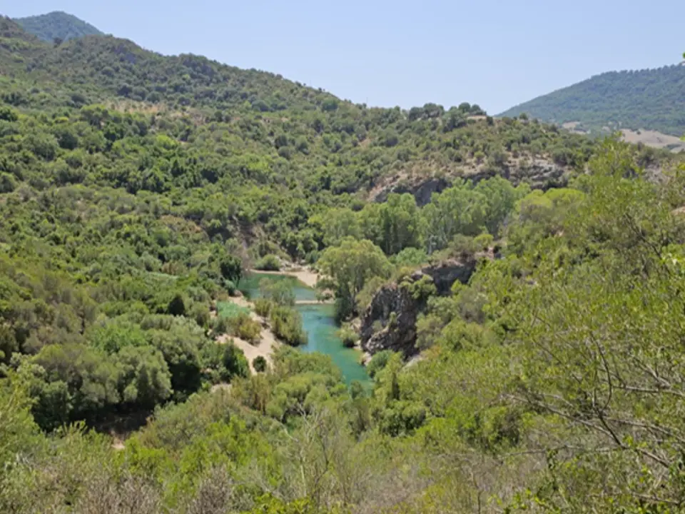
The Charco del Moro is the last pool at the bottom of the impressive Cañón de las Buitreras, carved through Jurassic limestone by the river Guadiaro over thousands of years.
Sierra Crestellina - NATURAL PARK
Casares · Nature & walking
12 km in a straight line
From the historic center of Casares, Sierra Crestellina stands out as the closest mountain range, with cliffs, steep rock faces, and crags, featuring several caves and numerous…
Arroyo del Quejigo
Jubrique
13 km in a straight line
Pinsapo - Garganta El Algarrobo - Pico Los Reales
Estepona · Nature & walking
13 km in a straight line
Pico Los Reales is basically in our own backyard and the biggest mountain you find this close to the sea on the Andalusian coast.
- We've been